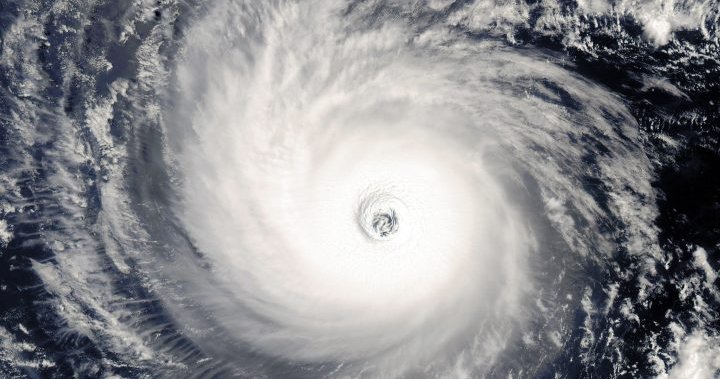
The slower onset of El Niño and record-breaking warm ocean temperatures may lead to a busier than normal Atlantic hurricane season in 2023, the National Oceanic and Atmospheric Administration (NOAA) said Thursday.
In its annual hurricane update that comes in August after an initial May outlook, NOAA increased the likelihood that there will be an “above normal” hurricane season to 60 per cent, up from a 30 per cent chance in May.
The agency said there could be 14 to 21 named storms, six to 11 hurricanes and two to five major hurricanes. Major hurricanes are ones that reach Category 3 to 5 and have winds of 111 miles per hour or greater. It gave a 25 per cent chance of a near-normal hurricane season, down from 40 per cent, and a 15 per cent chance of below normal. The forecast is given with 70 per cent confidence.
This year so far has had an “active start” with five tropical storms, including one hurricane.

NOAA’s lead seasonal hurricane forecaster Matthew Rosencrans said Thursday that we are now entering the peak hurricane months from August to October, when 90 per cent of hurricane activity happens. The hurricane season goes until the end of November and typically produces 14 named storms, of which seven become hurricanes and three are major hurricanes.
While El Niño typically lessens the severity of the hurricane season, this year’s has had a slower onset so far, which has negated its effect, Rosencrans said. Normally with El Niño there would be two named storms, whereas there have already been five this year, he pointed out.
Further negating El Niño’s effects and increasing the likelihood of a hectic hurricane season is record Atlantic water temperatures. Rosencrans said sea surface temperatures in June and July this year have been the warmest since 1950, when analysis began. It has been 1.23 C above normal.
“Every year between 1950 and now was cooler than the (Atlantic) temperatures now,” he said. “Warm waters are conducive to more development.”
Rosencrans said the warmer water likely contributed to the development of two tropical storms in the deep tropics in June. Tropical storms there in June and July are “usually a harbinger of a busy season to follow,” he said.


