
LAKE CHARLES, La. (KPLC) – A cluster of strong to severe storms moved east-southeast across northern portions of SWLA earlier Tuesday, but those storms now have moved out of our area.
To see what is happening where you are be sure to check the radar using the KPLC First Alert Weather App, it can be downloaded here: www.kplctv.com/apps
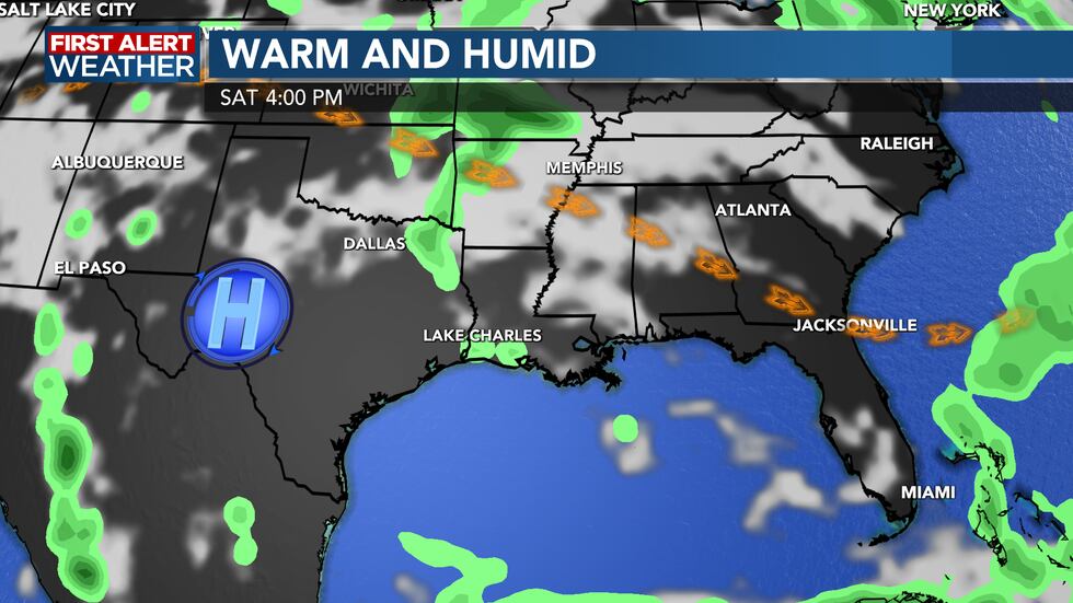
Upper level high pressure will develop over the west Texas and gradually build closer to our area through the week, this will keep rain chances very limited. But remember the tradeoff with less rain comes warmer temperatures. But this does not mean that additional clusters of storms can’t move across our area this week and bring storms to the area; just the odds are lower and the confidence in that happening are much lower.
Afternoon highs will climb into the low 90s by later this week and morning lows will remain in the mid to upper 70s. Heat indices will soar this week with readings reaching the 100 degree mark or higher during the afternoon hours.
We are now in Hurricane season, but thankfully there are no signs of any development over the next 7 days.
For a look at current conditions, our hour-by-hour forecast, radar, and other forecasting tools, visit the KPLC weather page: https://www.kplctv.com/weather/
Copyright 2024 KPLC. All rights reserved.