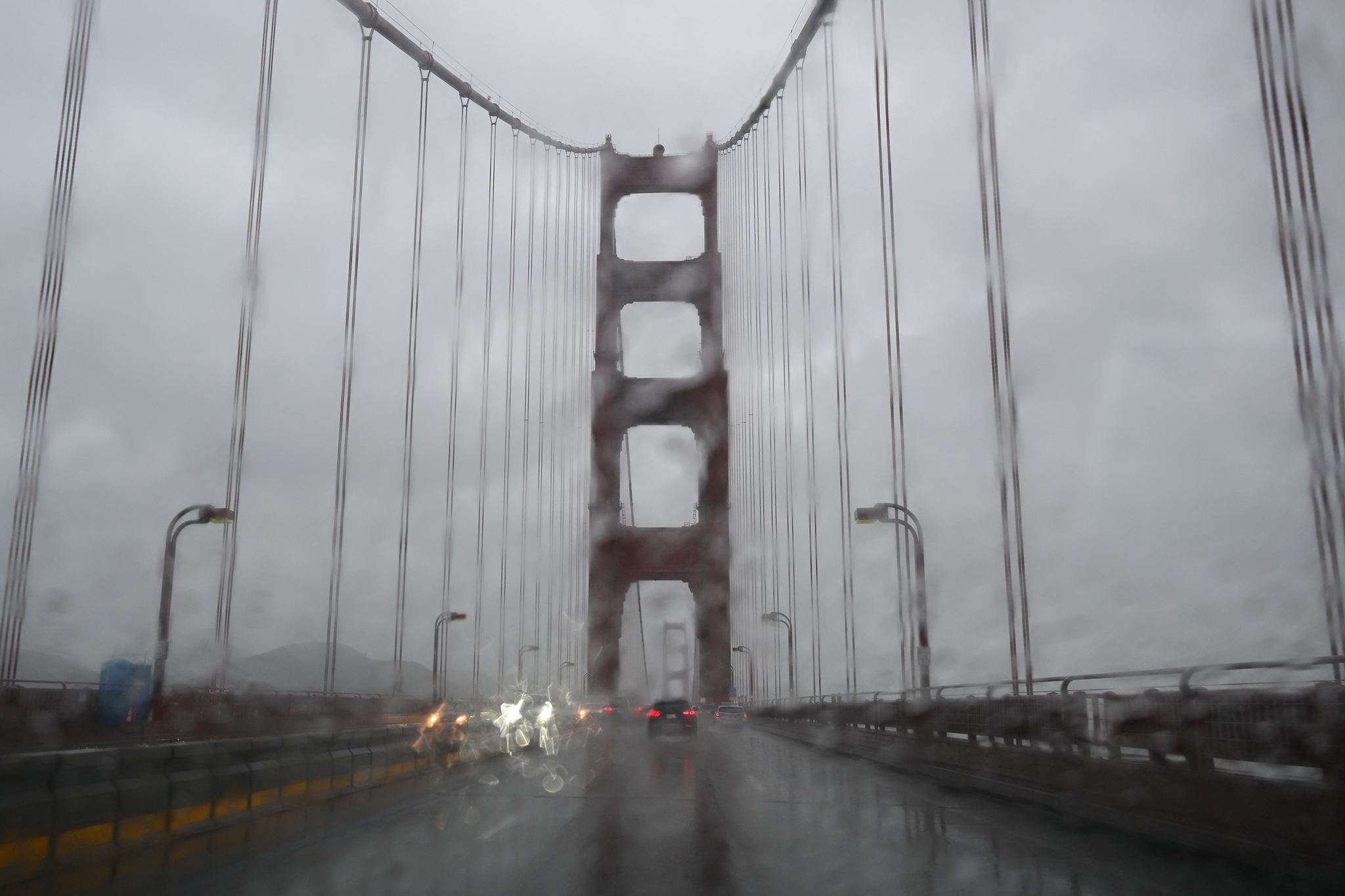
Cars commute on Golden Gate Bridge during heavy rain in San Francisco, California on March 9, 2023 as atmospheric river storms hit California of United States.
Anadolu Agency/Anadolu Agency via Getty ImagesA moisture-rich atmospheric river is expected to soak California next week, and some parts of the state, including the San Francisco Bay Area and Los Angeles areas, are likely to receive the heaviest rain they’ve seen since the start of the rainy season on Oct. 1.
“This is really our first winter storm,” said Todd Hall, a meteorologist with the weather service’s Los Angeles office. “We’ve had rain but it hasn’t amounted to much. It has ingredients to be a very significant storm system for this early in the season. It seems very similar to something we usually see in January and February.”
With the storm bearing down Monday through Friday, the state is likely to see a “wetter pattern, that includes multiple rounds of rain.” The wettest locations of far Northern California could record 3 to over 5 inches of rain. The Bay Area could see anywhere from 2 to 4 inches and the greater Los Angeles area, 2 to 4 inches.
This aerial photograph shows vehicles and homes in floodwaters in Pajaro, California on Saturday, March 11, 2023.
JOSH EDELSON/AFP via Getty ImagesAdvertisement
Article continues below this ad
Roger Gass, a forecaster with the weather service’s Bay Area office, said he would categorize the storm as a weak to moderate atmospheric river. These storm systems are often referred to as rivers in the sky and they carry large amounts of moisture across the ocean that’s released as heavy rain when the system hits land.
It’s too early to nail down the exact timing of the storm, but the early forecast suggests it could arrive in Northern California Monday or Tuesday, said Richard Bann, a meteorologist with the weather service’s Weather Prediction Center.
“We’re looking at rainfall starting to increase in aerial coverage in Northern California and pretty much down toward the Bay Area by Tuesday morning,” Bann said. “And then as we go through the day Tuesday and into Wednesday, the area of rainfall covers much of Northern California and now even into the Central portion.”
The Bay Area is likely to see the heaviest rainfall Tuesday through Thursday, Gass said. “It’s looking more likely and less uncertain, there’s still the devil in the details,” he said.
Advertisement
Article continues below this ad
Downtown San Francisco could record 2 to 3 inches of rain, but this is subject to change, as with all the projected rainfall totals with the storm.
“It wouldn’t take much to change the forecast for the San Francisco portion of the forecast,” Bann said. “There could be a chance for more rain, or less.”
In Southern California, the most likely window for rain next week is Wednesday through Friday, according to the weather service.
In an aerial view, the Los Angeles River flows at a powerful rate as a huge storm slams into the West Coast on January 5, 2023 in Los Angeles, California.
David McNew/Getty ImagesAdvertisement
Article continues below this ad
The stretch of coast between San Luis Obispo and Los Angeles counties could see up to 2 to 4 inches of rain, but the weather service said the confidence in the forecast is low, and projected rainfall amounts could shift in the coming days.
Bann said the early forecast suggests that this storm will not be a big snow maker. “In the northern end of the Sierras, we’re probably looking at perhaps an inch to an inch and a half of liquid,” he said. “At this point, I don’t have a real good feel what the snow levels will be, but I know with the altitude of the elevations involved, certainly some of that could be in the form of snow. Get down to the central area of the Sierras and farther south, we’re looking at an inch or less of liquid.”