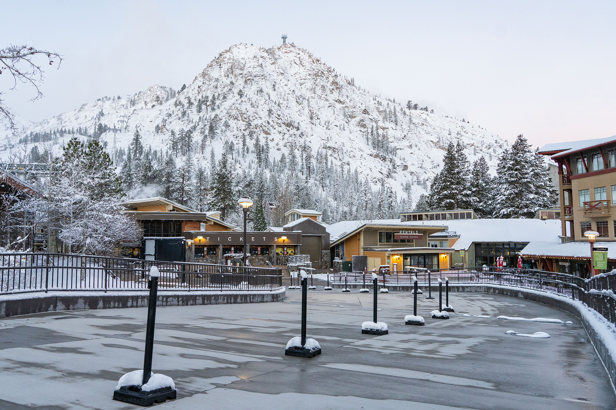
FILE – Fresh snow covers the Palisades Tahoe ski resort, Thursday morning Dec., 7, 2023.
Blake Kessler via Palisades TahoeThe Sierra Nevada snowpack, a key source of water for California, was 28% of average for the date on Friday, according to state data. This data point marks a meager start to the snow season, and the storm forecast to sweep California early next week is unlikely to significantly boost the number.
“Most likely this storm will bring more rain impacts and not a lot of snow, except at the higher elevations,” said William Churchill, a meteorologist with the National Weather Service’s Weather Prediction Center.
In a normal year, the Sierra Nevada snowpack produces a third of the state’s freshwater supply used by cities and farmers. It also provides vital water to our ecosystem, supporting endangered aquatic species. This year, it’s smaller than it has been in past recent years in mid-December. It stood at 201% of normal at this time last year. In 2022-23, California was pummeled by storms in December and ended the season with one of its largest snowpacks in recorded history. The year before, the snowpack was 83% of normal in mid-December.
Advertisement
Article continues below this ad
“Whether it be last year or the year before, by this point we had some significant snowfall and a snowpack that had developed — whereas this year, we’ve barely gotten two feet of snow,” said Andrew Schwartz, lead scientist of the UC Berkeley Central Sierra Snow Lab. “We really haven’t gotten almost any snow.”
Located at Donner Summit off Interstate 80, the lab is the keeper of one of the longest sets of data on snowfall in the world, going back to 1878. Schwartz said 27 inches of snow have been measured at the lab since Oct. 1, the start of the season.
The situation isn’t dire though. It’s early in the season, and a small snowpack in mid-December isn’t necessarily a harbinger of what’s to come. “We’ve had years where we start out really slow and end up with a big season,” Schwartz said. “2016-2017 started out slow and then really took off later in winter and in spring. It ended up being one of the biggest years in recent memory.”
In mid-December 2016, the snowpack was 58% of normal. On April 1, 2017, it was 163% of average. April 1 measurements are considered a key data point as they’re taken at a time of year when the snowpack has reached its peak before the spring snow melt.
Advertisement
Article continues below this ad
While there’s still plenty of time left in the season for the snowpack to grow, it’s unlikely to happen with the next storm. A slow-moving, low-pressure system fed with moisture from the subtropics was off the coast of Northern California early Sunday. The system is expected to send waves of precipitation to California next week.
“It’s definitely a warmer storm, and it’s pulling in some tropical moisture,” said Sara Purdue, a forecaster with the weather service’s Sacramento office. “The higher totals are going to be at mountain peaks. We’re not expecting a ton of snow overall from this system.”
The system is forecast to begin impacting the Sierra Nevada on Monday and continue into Wednesday, with snow levels generally at higher elevations, 8,000 feet and above, through the majority of the event. Snow levels could drop for a period, likely Tuesday night into Wednesday.
Advertisement
Article continues below this ad
Dave Rowe, a forecaster at Sacramento office that covers the western slopes of the northern Sierra, said snow levels could get as low as 6,500 feet on Tuesday night into Wednesday. “We should start to see some snow on the passes on interstates 80 and 50 on Tuesday night,” he said. “The higher passes, like Carson Pass on 88, might see snow earlier, probably starting sometime late Monday.”
From Monday to Wednesday, Rowe said Donner Pass is likely to see a couple inches of snow and Kirkwood 1 foot to 1.5 feet. To the north of the Sierra in the Cascade Range, Mount Lassen could also record 1 to 1.5 feet.
In the Tahoe Basin, snow levels are expected to hover between 7,000 and 8,500 feet, Monday through Wednesday, the weather service’s Reno office said. The weather service is predicting Tahoe will see less than 6 inches of snow across three days. The Reno office warned of “minor flooding issues even for our mountain communities, especially with clogged gutters or storm drains,” due to the warm storm.
Advertisement
Article continues below this ad
The weather service’s Hanford office, which provides the forecast for the Central Sierra including Yosemite, is less optimistic about snow levels dropping: “The storm is expected to be mostly rain as snow levels are forecast to get as high as 9 to 10 thousand feet on Monday before dropping to 7000,” the office said in its forecast posted online.
The forecast for the Sierra beyond Wednesday remained uncertain as of Sunday morning. The weather service’s Climate Prediction Center that issues long-range forecasts has a moderate risk for heavy snowfall in the northern and central Sierra Dec. 25 to 29. Long-term forecasts are always subject to change and can be highly unreliable.